Orient Valley Loop: Bunyola, Coll d'Honor & Alaró
Long Paguera loop into the hidden Orient valley over Coll d'Honor, returning via Alaró and the central plains.
Paguera, Mallorca
Distance
112.3km
Elevation
1680m
Route Climbs Avg
4.5%
Est. Time
6h 14m
Gallery
 +7
Ready for a proper adventure from Doctor Bicycles in Paguera? This 112 km loop with around 1680 meters of climbing sneaks into the Orient valley — a hidden fold of the Tramuntana that many visitors never see — and comes back fast across the island's quiet central plains.
- Distance: 112.3 km
- Elevation gain: 1680 m
- Gradient: Mountain
Ready for a proper adventure from Doctor Bicycles in Paguera? This 112 km loop with around 1680 meters of climbing sneaks into the Orient valley — a hidden fold of the Tramuntana that many visitors never see — and comes back fast across the island's quiet central plains.
Route Highlights:
- Paguera to Establiments: A familiar warm-up through Calvià and over Coll des Tords, then along quiet lanes past Establiments on Palma's green outskirts.
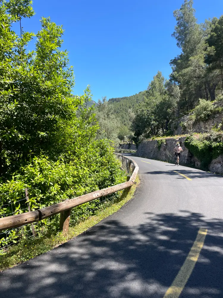
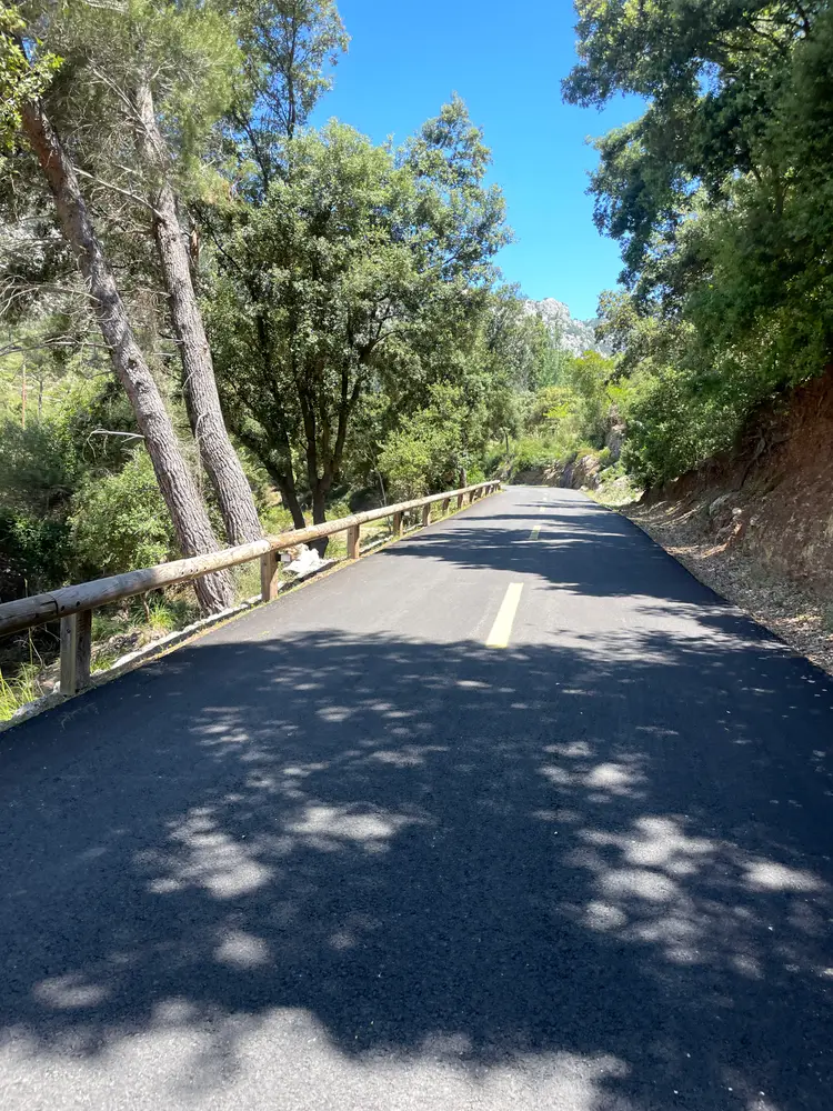
- Bunyola & Coll d'Honor: From the charming town of Bunyola the road tilts up through shady holm-oak forest to Coll d'Honor (550 m) — a steady, sheltered climb that is the crux of the day.
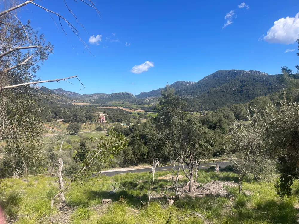
- The Orient Valley: Roll down into the postcard hamlet of Orient, one of Mallorca's smallest and prettiest villages, surrounded by olive terraces and towering limestone walls. Continue past Coll d'Orient beneath the twin peaks of the Alaró castle rocks.
- Alaró & the Plains: A flowing descent brings you to lively Alaró — perfect coffee stop — before quiet farm roads roll on through Santa Maria del Camí towards Palmanyola.
- Return to Paguera: From Palmanyola the route crosses to the pretty valley town of Esporles, then rolls over the gentle hills via Calvià for a satisfying finish at the coast.
Useful Information:
- Difficulty: Challenging by length rather than gradient — one real climb, the rest rolling or flat.
- Terrain: 100% asphalt, mostly quiet secondary roads.
- What to bring: Water for the full loop (refill in Bunyola or Alaró), snacks, sunscreen.
- Refreshments: Cafés in Bunyola, Orient, Alaró and Santa Maria del Camí.
- Highlights: The hidden Orient valley, the forested Coll d'Honor climb, Alaró castle views, and long fast stretches through vineyards and almond groves.
Planning to ride Orient Valley Loop: Bunyola, Coll d'Honor & Alaró during your Mallorca trip? Doctor Bicycles in Peguera rents premium road bikes, set up for you, with hotel delivery and GPX files for every loop route. This 112.3 km ride and 1680 m of climbing includes an interactive map, elevation profile, and real route photos on our website. Reserve your bike in advance and explore Mallorca's best cycling roads from our shop in Peguera.